Showing posts with label short_hikes. Show all posts

Monday, August 12, 2019

Coffee, hiking and quiet tea fields: a central Taiwan trip that beats Alishan

IMG_9697
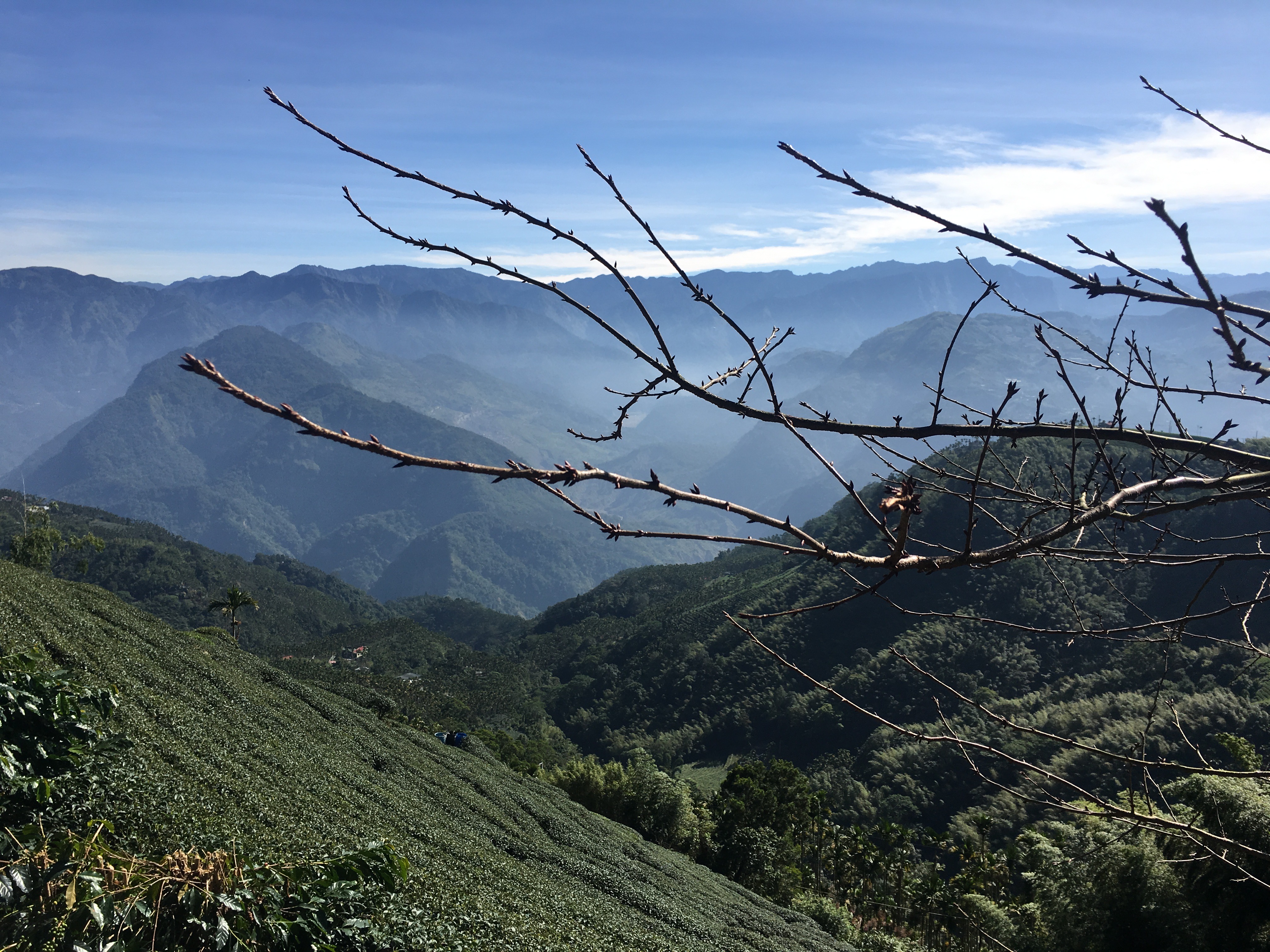
The view from above Longxing Temple


You know when you just have to stop talking about politics for awhile and write about something that makes you happier? Well, I'm at that point now.

I actually travel around Taiwan fairly frequently; I just don't always get around to writing up my trips on time. Sometimes, I don't write at all - I've probably banged out 5 or 6 posts on Tainan City at this point; I'm not going to write another one unless I do something unusual or new there. There's a stereotype that Taipei-based foreigners rarely leave the city - I can't speak for everyone, but I can say that that accusation doesn't apply to me.

So, I'd like to tell you about our trip to Taiping (太平) - not the mountain in Yilan County (though I've been there too and will write about it eventually), but the small town up the mountain from Meishan in northern Chiayi County. The town itself is tiny and hard to get to - though there is a bus from Meishan - and itself not worth a long trip. But if you have a car and head to some of the hiking in the area, it can be a worthwhile weekend with beauty on par with Alishan, but none of the crowds.


IMG_9627
See?

We'd actually come up from Donggang, where we went to the opening day of the 2018 King Boat Festival (another thing I didn't blog as I've blogged it twice already, and written about it for an anthology as well as Taiwan Scene), stopping in Chiayi for some turkey rice. We hired someone to drive us as I was the only one with an international permit, and it was agreed that it wasn't fair for me to do all the driving (though to be honest, I could have).

You'll find in Taiwan that much cheaper than chartering taxis, if you can tap into local networks, there are always retired folks happy to drive you around at reasonable rates. Ask me privately and I'll pass along this guy's information (he doesn't speak English, though).

The road up to Taiping takes you up the Taiping 36 bends on the 162甲 - 36 consecutive hairpin turns with stunning views. I didn't take any photos as I was carsick.


IMG_9600
Amber Coffee


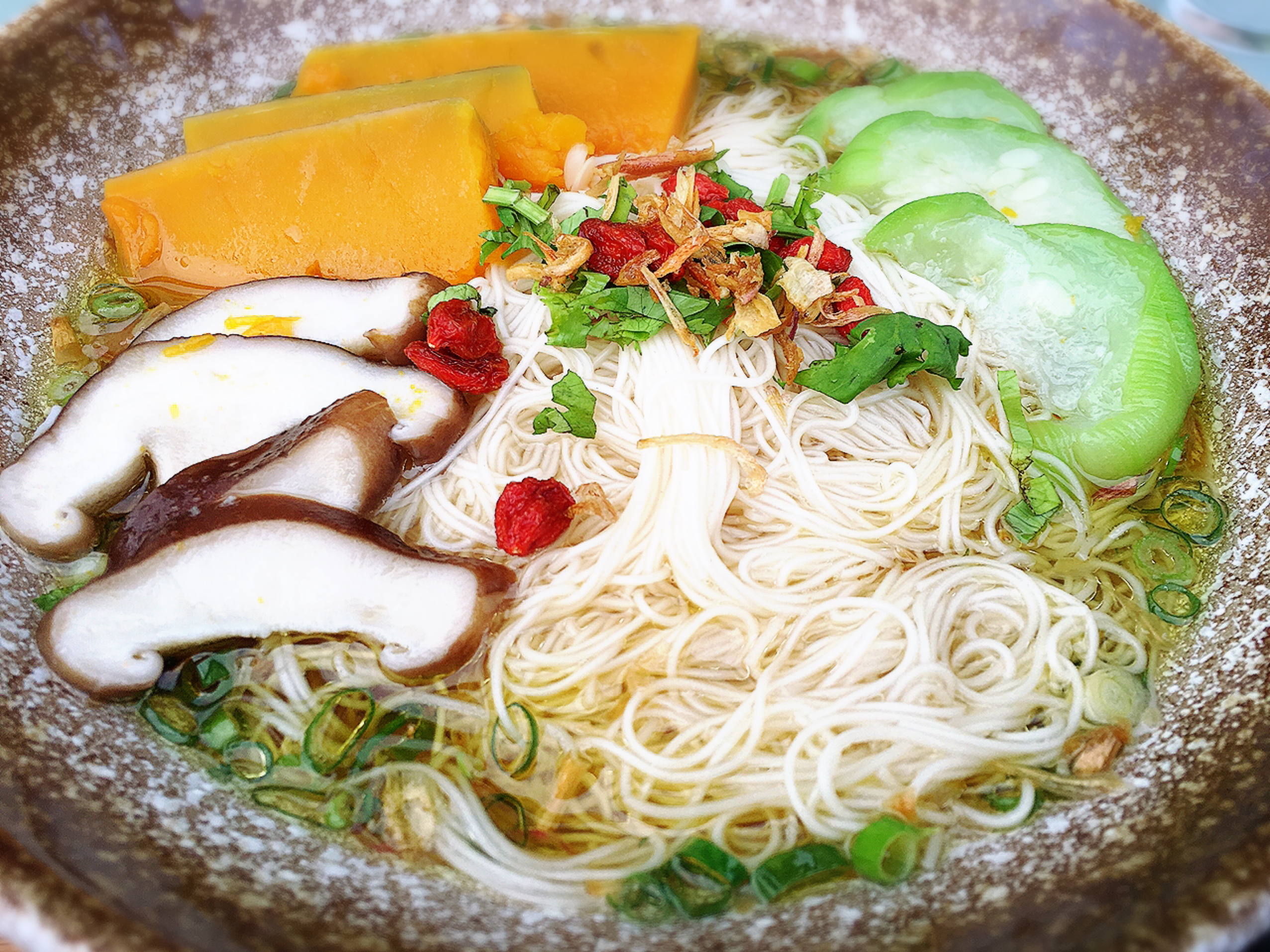
Our first stop before heading to our homestay in Taiping was Amber Coffee (琥珀社咖啡莊園) on Meihua Road - a tiny one-lane mountain road, so drive carefully. The owners of Amber realized that the climate up here, good for growing tea, was also great for coffee. The coffee is excellent, and they have tea oil thin noodles and tea oil waffles as well, with indoor and outdoor seating. The view is lovely and it's a worthwhile stop. They also sell coffee beans, tea oil and other products and have a playful black dog. 

IMG_9557
Amber Coffee


IMG_9538
The road to Amber Coffee


IMG_9603
Tea oil thin noodles


IMG_9540
The view from Amber Coffee


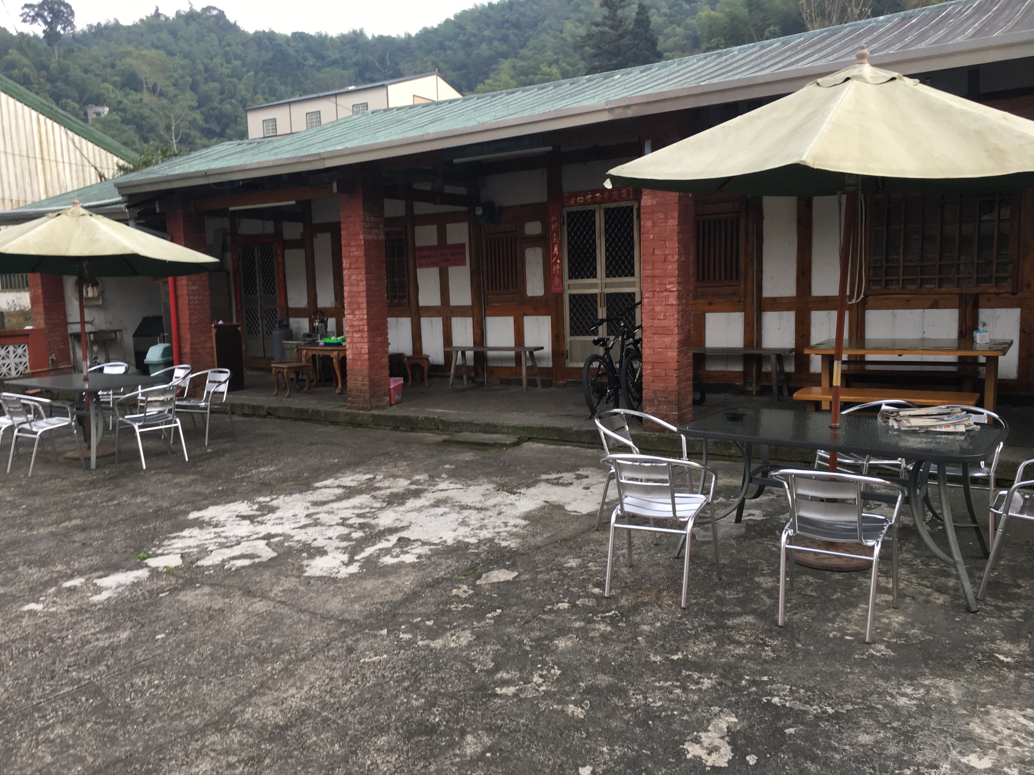
As the sun set, we headed back to Taiping for the evening and our driver headed back. We stayed at "Taiping Old House B&B" (太平古厝民宿) in Taiping village, which has futon-style beds on raised wooden floors and a traditional-style courtyard where you can hang out. It's set back from the road a little (you can't easily drive a car in; I'm not sure you can drive in at all, in fact.)

While you can get here by bus from Meishan, the buses don't come often and you won't have any other transportation to good hikes. There are some scenic areas nearby, though. Even more annoyingly, Meishan isn't exactly close to any other transportation networks. There are buses to Chiayi city and Douliu, where you can catch onward buses and trains, but just getting to these cities, which are not that far away geographically, will take hours by bus.

Taiping does have a 'tourist street' with various products for sale, and drivers do come here on day trips. Try going during the week if you can. The good news is that the closest train station on the Alishan railroad is Dulishan (獨立山), which is 6kms away. That means you won't get as many people.

I don't know what Dulishan is like as I haven't been, but it looks like there's another suspension bridge out that way. Theoretically you might be able to get a ride from there to Taiping, though I wouldn't try it. It would be like ending up at one of the smaller stations on the Pingxi Line and hoping to get a taxi. Theoretically possible but deeply unlikely. 

IMG_9761
Old House B&B


The next morning our driver picked us up and drove us to Longxing Temple (龍興宮), a sort of down-at-heel but well-known temple in the mountains with hiking trails branching off from - surprisingly enough - behind the outdoor restrooms.

By the way, some local aunties use bitter tea oil, a byproduct of tea production, to make soap. You can buy it at the temple, it's piled up (well-wrapped in plastic) by the restrooms. Take a pack of 3 and put NT$100 in the money box. It's on the honor system. I find it's a great facial soap for oily skin, with the tea oil having anti-bacterial properties. 


IMG_9736 2
Viewpoint along the road to Longxing Temple


IMG_9631
More roadside views

If you hike up behind the temple, you get to a scenic lookout facing west, out towards the Taiwan Strait. Our driver said that on a clear day you could see all the way to Penghu. Sadly...


IMG_9642
Pollution! 

I'm all for de-nuclearization because Taiwan hasn't shown it can capably build and maintain safe nuclear plants, and I don't know what to do with the spent fuel rods. We need renewables. But...are we sure we want to go back to fossil fuels in the meantime? Looking at this, I'm not so sure. It looks suffocating. Ilha Formosa can do better. 

Keep going past the scenic lookout to the left (if I remember correctly), up a tiny, less-used path, and you end up on some old wooden stairs in a bamboo-filled forest trail. There's a sort of summit with a market and a few logs and rocks you can "sort of" sit on, though they're not there for that purpose.

Then, as you reach the top, you see a break in the bamboo up ahead...
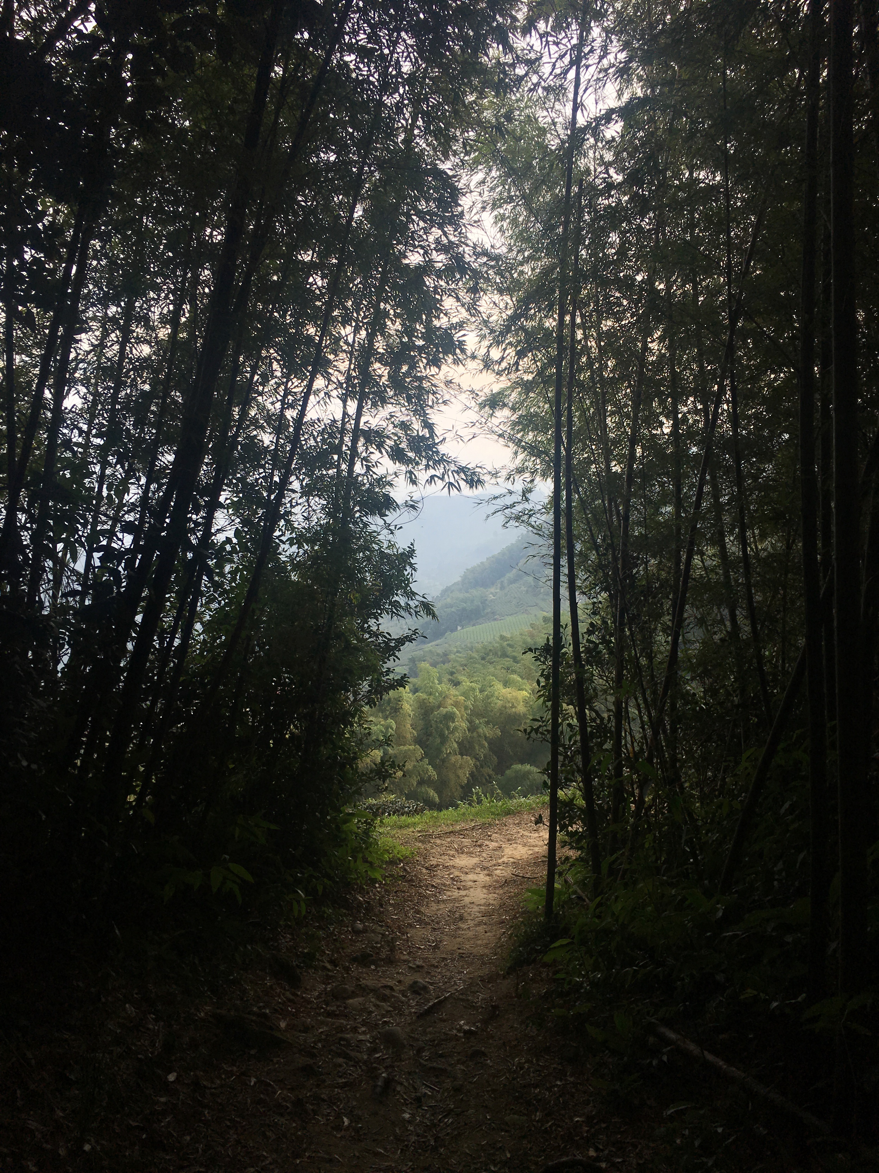

IMG_9758
Hiking up behind the temple


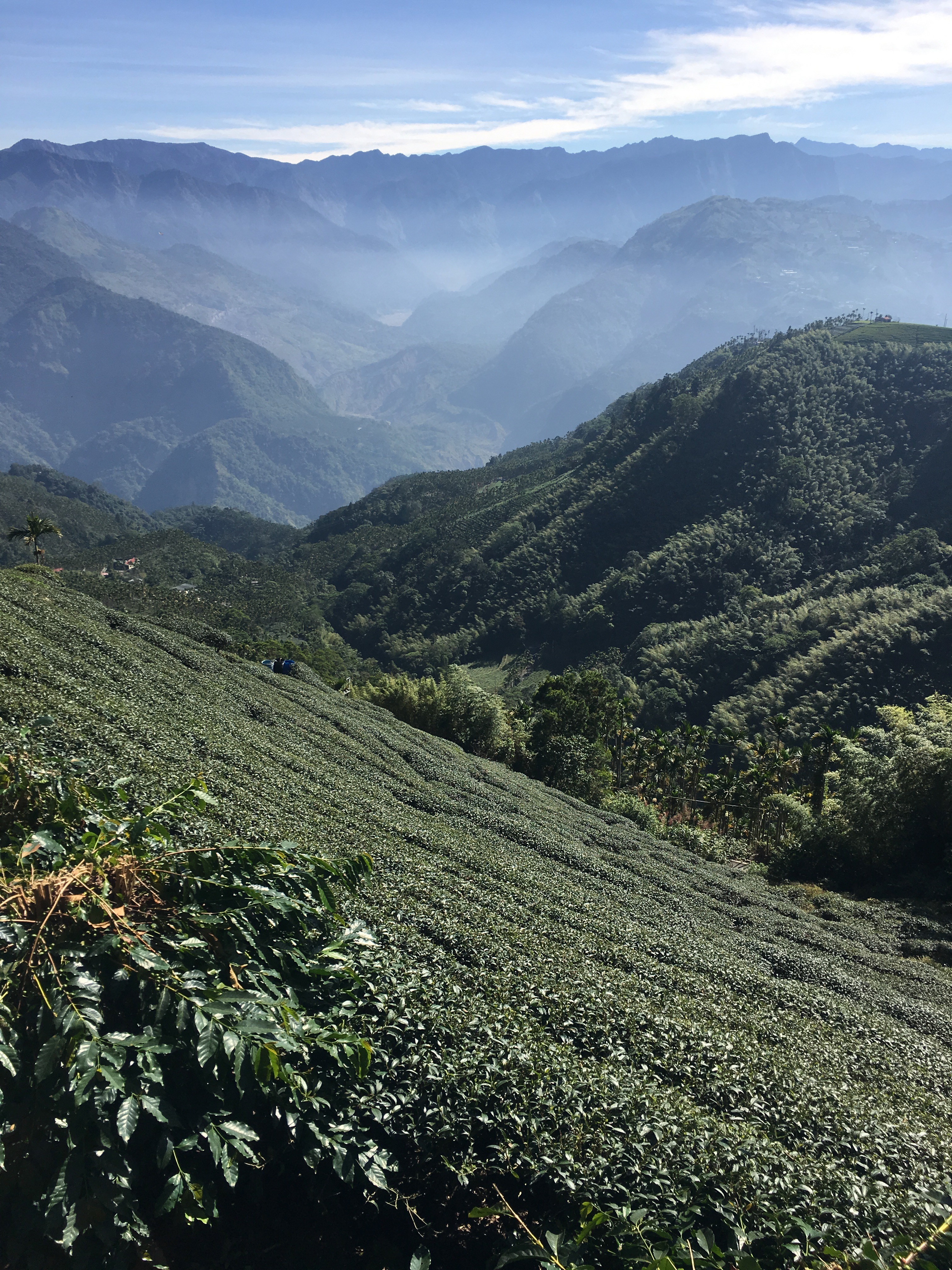
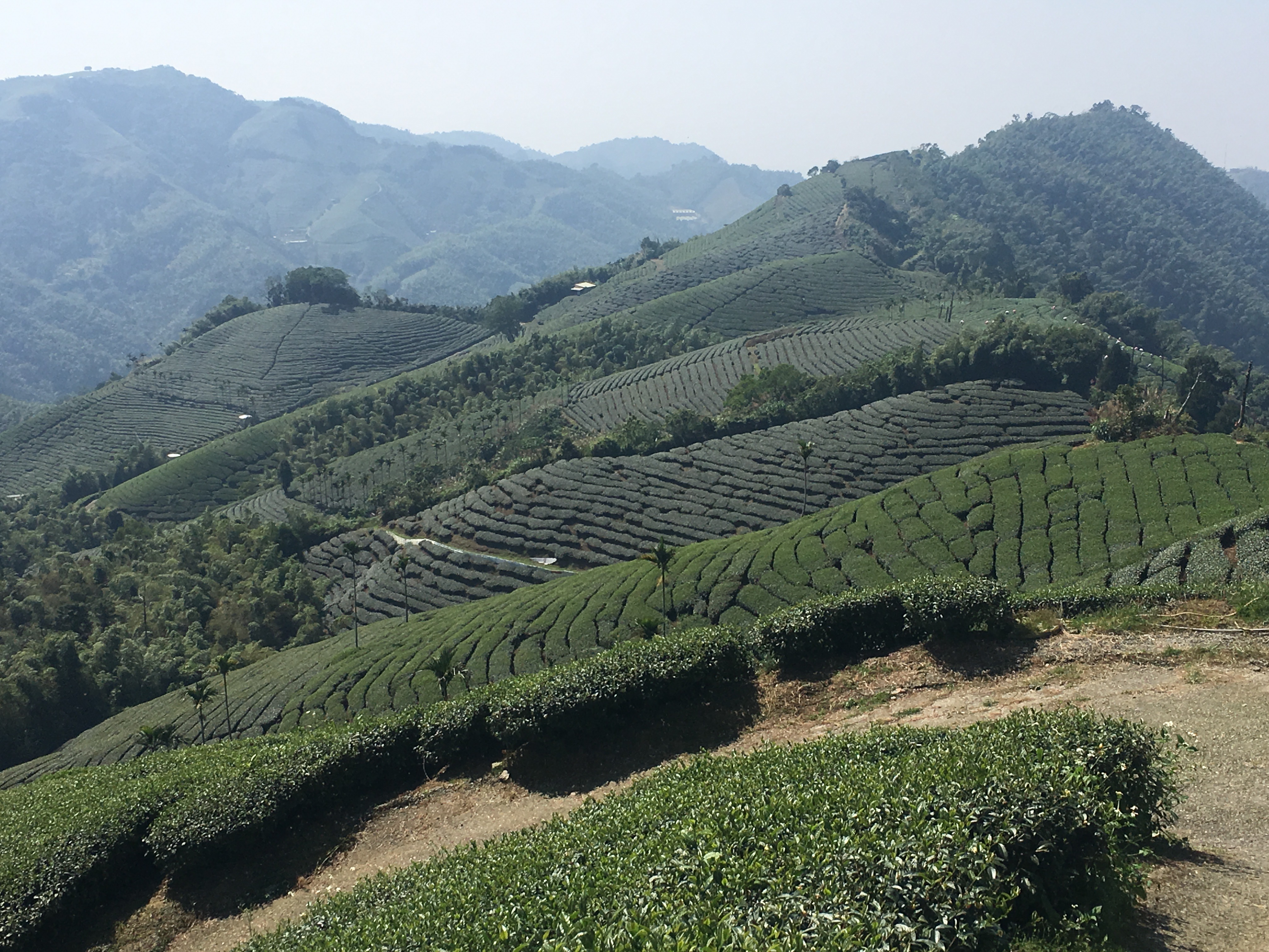
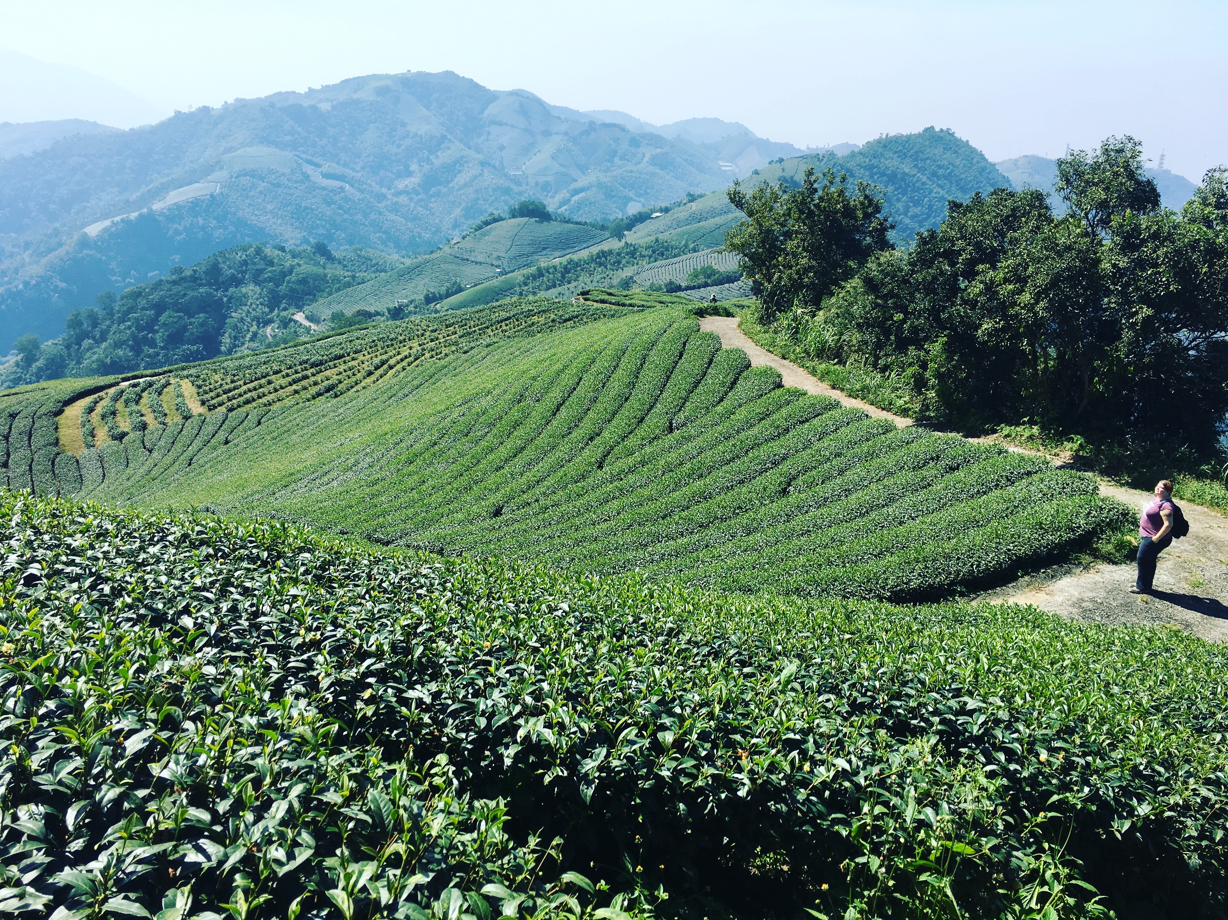
...and that's where the tea fields start. The other bonus is that your view to the east and the mountains beyond opens up. It's amazing, how different the air quality is. Looking out over the plain towards the strait, it's a sea of wheezy gray. Look east towards the mountains and it's clear and luscious.

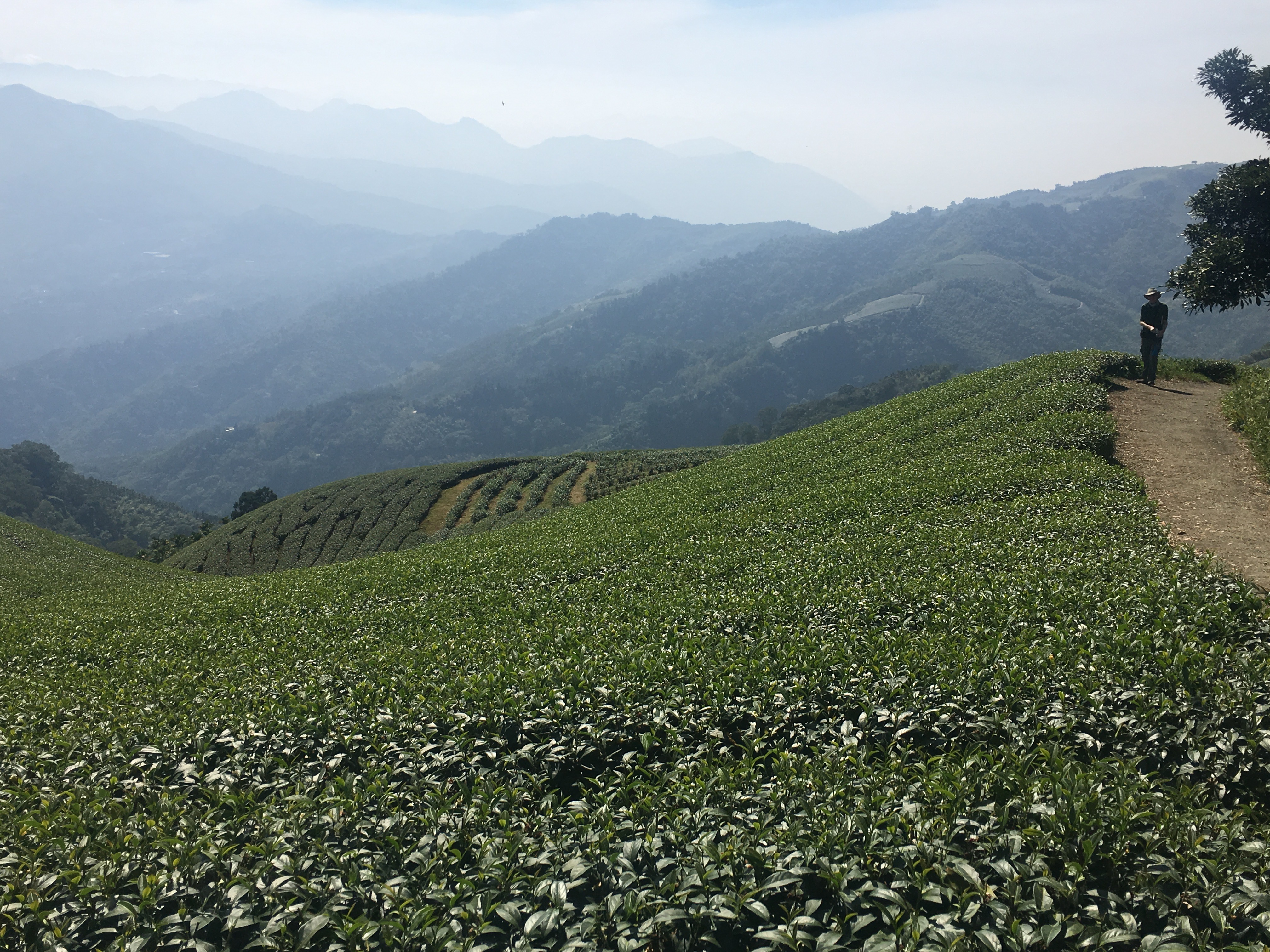
You can follow the trails in the tea fields that are made for the farmers and tea-pickers all the way back to Taiping if you want, though there's almost no shade. Bring a hat and sunblock if you head this way. 
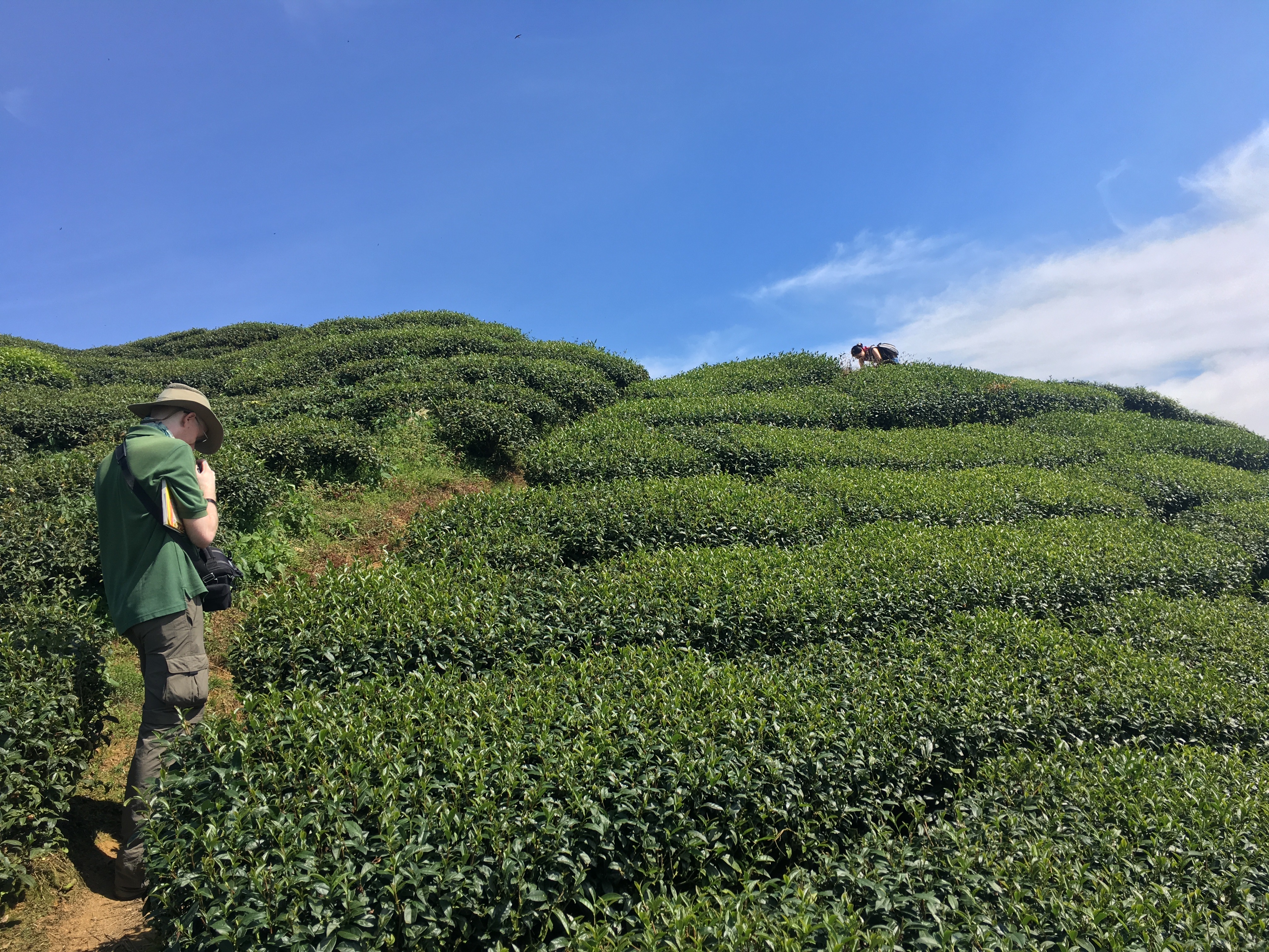


IMG_9696
No shade


IMG_9632
But the views are insane


IMG_9668
You can keep going this way for quite some time, if you want.


IMG_9680
This is where a lot of your "High Mountain Oolong" really comes from


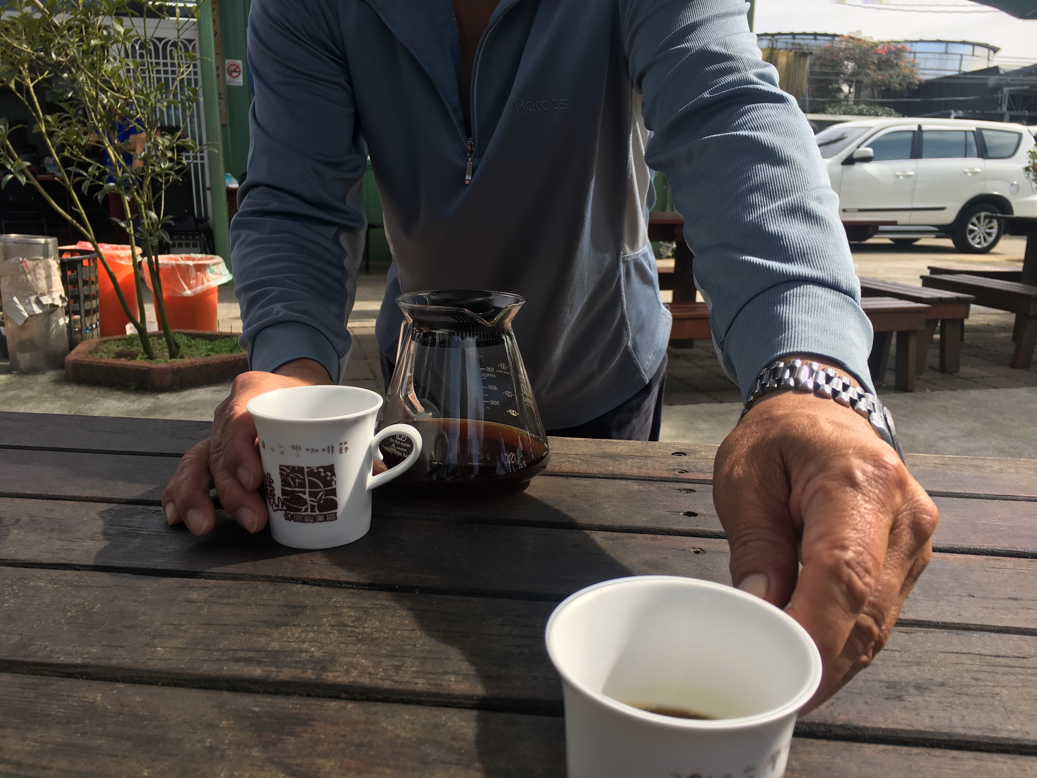
We stopped for lunch at 嘉義梅山二尖山休閒茶園 (translates to Chiayi Meishan Second Sharp Mountain Tea Recreation Park - bit of a mouthful). Get the chicken with fried ginger - you can eat the ginger. There's also a scenic lookout nearby with a guy who makes coffee on the spot in a portable setup, and he'll bring the coffee to you if you sit outside at the nearby restaurant.

This is a heavily Taiwanese-speaking area, so in addition to there not being much spoken English (if any - we used Mandarin exclusively), a lot of people have thick accents even in Mandarin.


IMG_9720
The ginger chicken at 嘉義梅山二尖山休閒茶園


IMG_9715
Coffee dude 


This whole area is known as Erjianshan (二尖山), and you can get here by driving or taking - if I remember correctly - the other path leading from behind Longxing Temple, the 二尖山步道, which is fairly easy to find as it's a set of stairs with red railings over more tea fields and very little shade. (I'm not sure if I've got my geography exactly right, but all of these places are near each other. It won't be hard to find your way around, especially if you speak Mandarin or Taiwanese). 

Behind Erjianshan, it's possible to keep going on a pretty easy trail (well-marked, easy to hike, has ups and downs though mostly ups) to Dajianshan (大尖山) on the Chiayi/Yunlin county line. You'll walk through more forest and pass more quiet tea fields, and see perhaps a few hikers - mostly locals out for a day walk. 
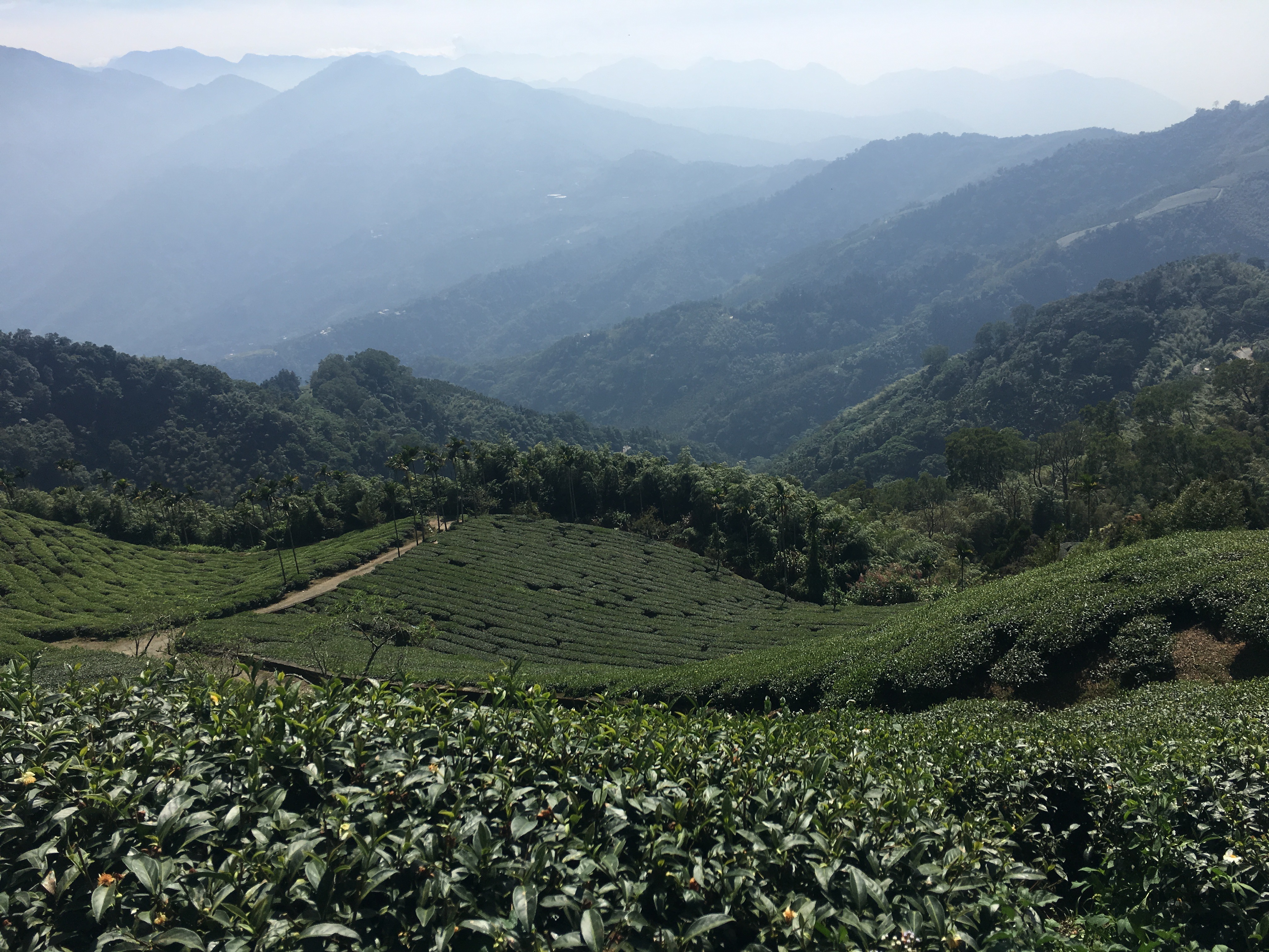


IMG_9681


There's just one catch - don't come at the wrong time. We passed through as they were spraying one field with insecticide, and the fumes were overpowering.

Another catch - it's difficult to know when spraying time is. 
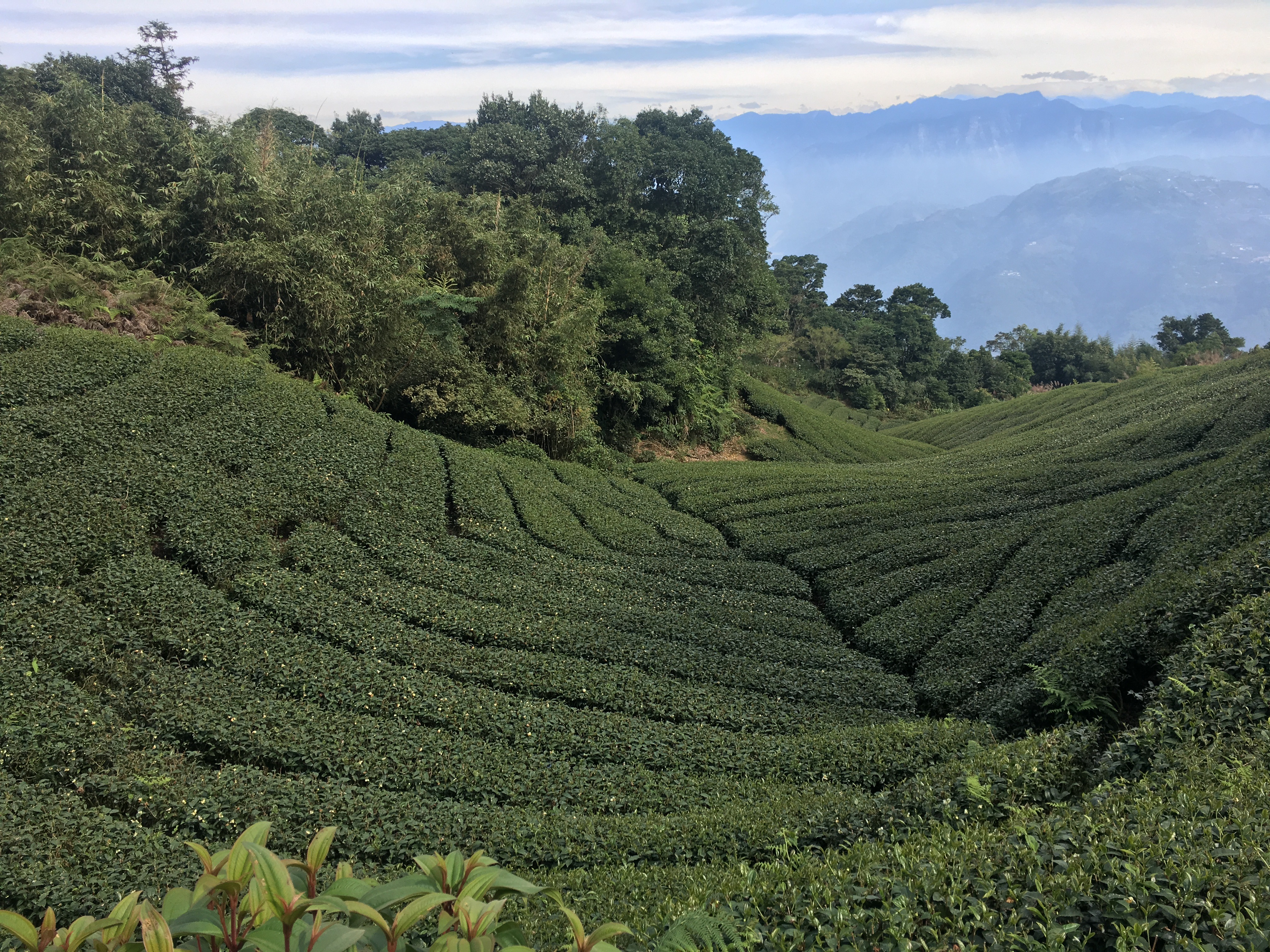


IMG_9709

The view from Dajianshan looking towards the Central Mountains is, as you would expect, stunning. There's only a small break in the foliage, but the scene you get is wonderful.

Try to go early - by late afternoon the pollution starts wafting through the mountains and infesting the valley between this low range and the higher peaks beyond. We suspect this mist is mostly pollution, though slightly less gray: 
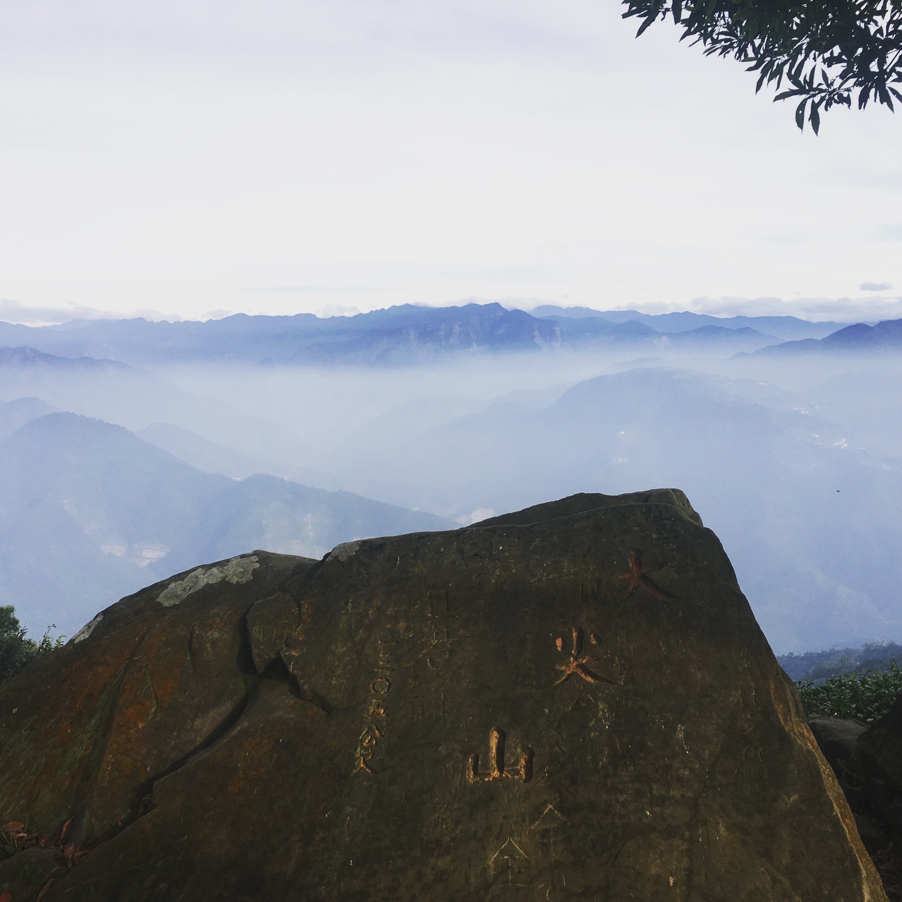


IMG_9746


Our driver picked us up at the road where the trail ends, near a popular scenic overlook called 二尖山唬爛亭. There are several restaurants, coffeeshops and teahouses in the area with local food and products. 
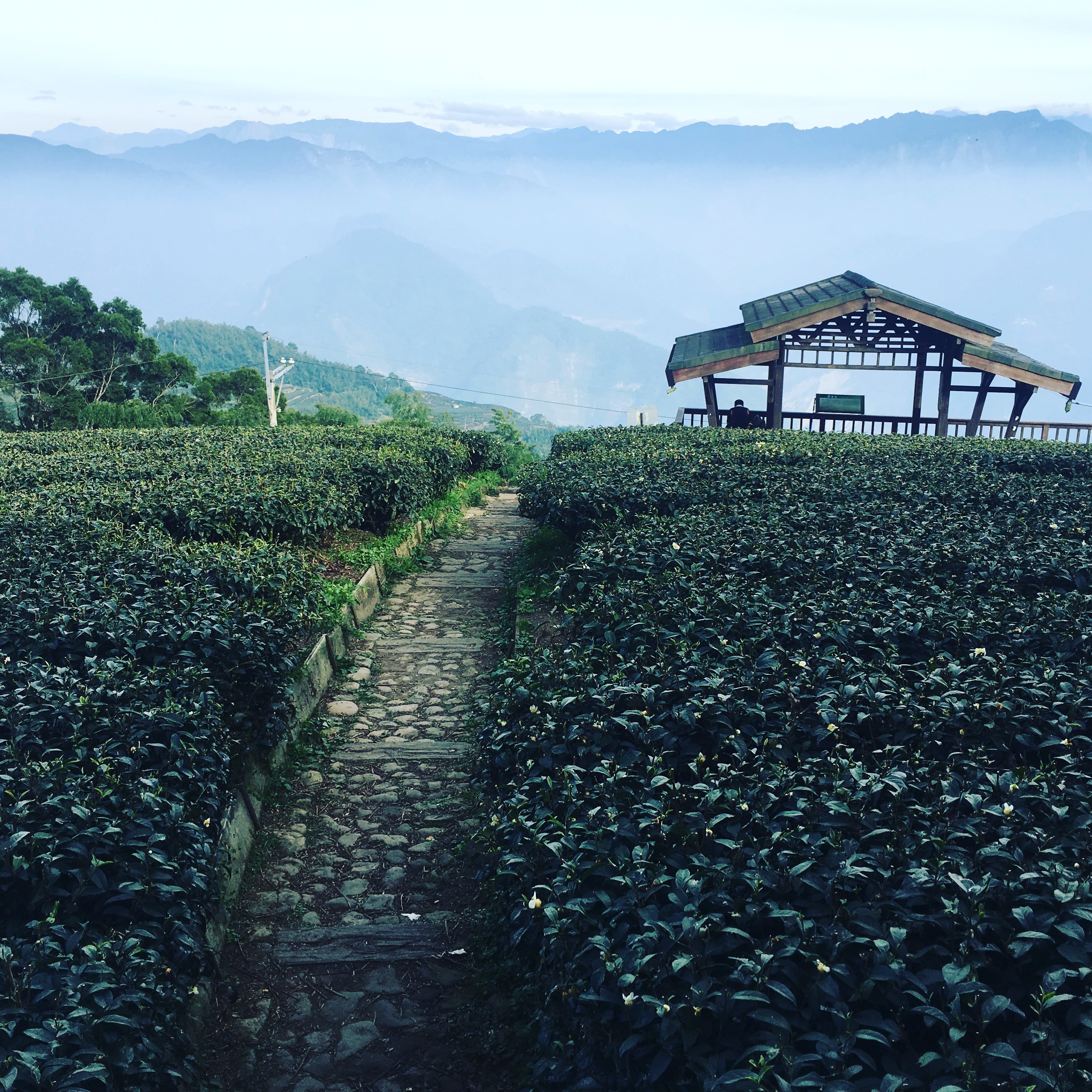

IMG_9980


After our hike we headed back to Taiping to relax for the evening. There aren't many restaurants open after dark in Taiping.

The next morning our driver picked us up at Old House and took us to Douliu in Yunlin County instead of Chiayi - a few stops closer on the train, and we could get some famous Douliu squid thick soup (a favorite of mine). We paid our driver, which came to a few thousand NT each for the three of us - pretty sweet deal for several days of being on call - stowed our bags in lockers at the train station and bought train tickets for an express train leaving a few hours later. The bag stowing was really crucial, as I'd packed for both the heat, sun, beach and festival atmosphere of Donggang, the cold mountain air and hiking.

Then we headed out for dinner in Douliu before catching our train back to Taipei. We arrived late and tired, but happy. 

Thursday, May 22, 2014

Silver Stream Cave and Waterfall (銀河洞越嶺步道)

 photo IMG_5390.jpg

This short hike (more like hellishly steep, but short, stair climb in nature) is quite well known, covered in Taipei Escapes, Taipei Day Trips, and blogged by David on Formosa. I hadn't done it before, though, so I thought I'd add a few photos. It begins in Xindian (or Maokong if you are so inclined), snakes up (or down) a stair-trail through the mountains and takes in a slender silver waterfall backed by a cave, into which a retro little temple has been built.

 photo IMG_5408.jpg  photo IMG_5373.jpg

It will also get its own entry under "easy day hikes in Taipei for lazy people" (updated!) as you can easily begin this hike around or even after lunch time and arrive in Maokong with a comfortable amount of daylight remaining. Its fairly unchallenging nature - unless you hate stairs (and I do) - proximity and short duration are perfect for those who want to do something but didn't get up until 10am.

 photo IMG_5375.jpg

I like this hike because it connects two disparate parts of the greater Taipei area: Maokong/Muzha and Xindian. You go up the long, ridge-like Maokong mountain, stop at a waterfall and temple on the way, pass a short trail to the summit (you can head up there if you like - but there's no view) and then come down to the road across the street from Maokong's cable car station. Straight up and straight down.

 photo IMG_5381.jpg

There are buses and such you can take to get there; you can take any bus headed along Beiyi Road (Highway 9 or 北宜公路) towards Pinglin and get off at Yinhe Road (銀河路), hiking up from there.  However, it's only about NT155 to take a taxi from MRT Xindian to the trail entrance (tell any driver you want to go to 銀河洞越嶺步道 on Yinhe Road), so why not just do that?

Or you can go the other way - take the gondola to the top of Maokong, and directly across the street start hiking up the hill past the temple under renovation, turning behind a house (should be marked), past an old stone house, and up some more on a concrete path until you hit the woods again. Past the summit and then down, down, down to the waterfall and Xindian, and catch a bus on Beiyi Road back to the MRT. This way involves less uphill hiking and few, if any, uphill stairs.

 photo IMG_5382.jpg

 photo IMG_5383.jpg
But we went the hard way, and ended up in Maokong at a great time for tea and snacks, hanging out until sunset and dinnertime. We went to my favorite teahouse on Maokong, 山中茶 - I like their fried sweet potato and their lemon diced chicken (檸檬雞丁).

 photo IMG_5376.jpg

This trail is very much discovered - solo hikers (it's very safe) and large groups, often with dogs, meander along it, stopping for lunch near the temple. The temple itself was built sometime after the KMT landed in Taiwan, and tiles painted with a story in Chinese marking this fact, plus the obvious non-fact that "everyone in Taiwan celebrated Retrocession Day" (uh, NO THEY DIDN'T) and a list of temple donors.

 photo IMG_5385.jpg

 You can walk behind the waterfall up a path just beyond the cave - the path continues, but it's better to take the path up to the right of the temple for a quicker ascent to Maokong.  photo IMG_5387.jpg

 photo IMG_5388.jpg

 photo IMG_5398.jpg

 photo IMG_5402.jpg

 photo IMG_5403.jpg

 photo IMG_5411.jpg

Saturday, June 15, 2013

Tombs of the Sky Lanterns and Bamboo Cathedrals

 photo 1012350_10151712784361202_904210022_n.jpg

Not long ago we did a lovely, not-too-challenging hike in Pingxi, taking the Dongshige (東勢格) trail from the bottom end of town (if you come by train - right on the road if you come by bus). We hadn't been hiking in Taiwan in ages because we've both been wary after Brendan's terrible fall, and we were out of commission hike-wise for several months anyway for his recovery. We did do World's End and Horton Plains in Sri Lanka (in lieu of still-not-quite-ready-for-it Adam's Peak) in February, but that's been it since September. So if you've been wondering why I haven't done any hiking posts...that's why.

Oh yeah, and from February to May it rained more or less every weekend in Taipei. Months on end. No good hiking.

Ready to start hiking again and wanting to take advantage of a few weekends of not-terrible weather, but not ready for anything too challenging (gotta recapture that muscle memory, or really, just gotta get back in some form of hiking shape) - and probably never again willing to try anything too risky on a hiking trail - we opted to do this lovely, rambling hike.

 photo 1006245_10151712790741202_493752261_n.jpg

The three key features of Dongshige are the gentle rock scrambles, often around a cool, bubbling creek (all have ropes for balance and none are impossible to navigate for even the most novice hiker), tall copses of bamboo that arc together high above the trail to create the feeling of a verdant, natural cathedral ceiling, and sky lanterns set off from Pingxi town that have fallen in the hills beyond, ending their lives among the trees.

It's quite lovely to walk along in the dappled sunlight under the trees (assuming you get a sunny day, which you should never assume in northern Taiwan, let alone Pingxi) and catch sight of red, blue, pink and striped sky lanterns saying their last goodbyes, either at your feet or in the trees. Some are so new that you can read the wishes on them. Others have been at rest for so long that the paper has long since disintegrated and all you've got are a few tattered remnants of color - if that - and the metal base of the lantern. They're lifted into the sky by hot air/smoke - think very crude hot air balloon technology - so when the sterno-like fire goes out of their base, they fall where they fall.

And they are everywhere in these hills. I wonder if the one we made a few months before our wedding is up here somewhere.

 photo 600305_10151712785966202_1818763559_n.jpg

We accidentally went the wrong way when we started off, and found ourselves on a trail Joseph, our companion, has done before with Richard Saunders - the Stone Candle trail, which from what we've heard is absolutely gorgeous, and also 8+ hours of risky, rocky trails and pure torture if you're not in great shape. (The link above includes photos of our friends Joseph and Emily doing this hike). The first part of the trail is pretty easy, though, and quite lovely as it winds through farmland and up gentle hills to a set of old stone steps (which is where it gets more challenging), so we decided to stay on it for awhile. Then we turned around and hit Dongshige - we didn't complete it, in part because we'd started out too late, in part because we'd spent time on the wrong trail, and finally because my water bottle was not capped properly and I lost my entire water supply in my backpack and down the back of my pants about halfway through.

Oops.

You can get to the start of Stone Candle, Dutiful Son Mountain, Loving Mother Mountain, Dongshige and more from about the same area - from the train to Pingxi, walk down through the town, turn left and walk down some more, and turn left again at the road at the bottom of the old street. Walk for awhile on hot pavement and the trail entrances will eventually start appearing on your left.

 photo 995317_10151712785856202_833973449_n.jpg

From there, grab a smartphone photo of the map (the correct entrance has a map of Dongshige Trail) and head up. If you find yourself on the right side of the creek, walking through farmland and not on a road scooters can drive down, you're headed to Stone Candle. Turn back (or keep going until you're tired, it's a nice walk at first). You should instead be on a road so easy that it is somewhat motorable up to a certain point.. You end up at an old tunnel (on the way you'll pass the "disused house", "disused office" and "disused tunnel" - this area is full of old forest ruins so you'll see a lot of this kind of stuff) - the trail is pretty obvious from here on out (head right just before you reach the house, the bridge between the forks doesn't look stable).


If you instead head up Stone Candle, to the right of the creek, the easy trail terminates at a long set of slippery stone steps to your right. At the top of that are some old man-made shallow caves, which appear to be some sort of shrine-like dedication to Chiang Kai-Shek (eugh!):

I don't really like this one! photo 983957_10151712785901202_1120956244_n.jpg

There's another, harder to read inscription that is more obviously Chiang Kai-shek related, too.

 photo 970855_10151712786671202_1686276632_n.jpg

 photo 998614_10151712787311202_806044355_n.jpg

But assuming you stay on the Dongshige Trail (left of the creek, for awhile), this is where you hit a series of gentle rock scrambles, some near or in the water, some not.

 photo 1011892_10151712784841202_279551049_n.jpg

 photo 999035_10151712787686202_1927008617_n.jpg

 photo 1000418_10151712790216202_635694405_n.jpg

A red sky lantern impaled on bamboo

 photo 1001328_10151712790306202_287456884_n.jpg

The "disused tunnel"

 photo 969454_10151712788206202_1691914817_n.jpg

From the Stone Candle (i.e., wrong) trail

 photo 983573_10151712788456202_683034279_n.jpg

 photo 1000912_10151712784031202_1723420403_n.jpg

 photo 1017066_10151712789216202_1503548147_n.jpg

The trail gently inclines for awhile - nothing too strenuous, but it's not entirely flat going - and is mostly shaded, The rocks and creek (and lack of pavement) keep it cool, so it's a good choice for a very hot day. Just bring more water than we did, and don't screw the cap on wrong like this idiot here.

After some time, on your right you'll hit a signpost and a turn-off to another super-challenging, Richard-Saunders-style hike that we didn't attempt. It cuts a natural, almost imperceptible trail up a steep, rocky, overgrown hillside and disappears into the jungle above. Maybe someday - not now. Keep going on the route that's not kind of scary, along the rock scramble.

 photo 1000906_10151712789861202_671116581_n.jpg

Yes, I am aware that this looks like a giant discarded condom.


 photo 943458_10151712789626202_135486825_n.jpg

 photo 943592_10151712790226202_1516750686_n.jpg

You'll also pass an Earth God shrine (you usually do on these hikes!)

 photo 970219_10151712790611202_1546512608_n.jpg

We never made it to the "natural endpoint" of this hike - some lovely grasslands about another kilometer away - because of the water situation (we also wouldn't have had enough daylight to go to Houtong to see the cats, but realistically we could have done that on another day), but the hike seems to continue to gently ascend from there and could easily be completed without issue had we a bit more water and time.

 photo 1017066_10151712790626202_500493281_n.jpg

On the way back, along the easy motorable trail, you also get some lovely views across the river of Shulong Peak and Stone Bamboo Shoot, which are accessible from Jingtong.

 photo 600571_10151712791051202_1827256055_n.jpg