I'm baaaaack!
I haven't been in Taiwan long, but I've been taking advantage of the short time since my arrival. My husband, friend and I almost immediately departed for a four-day trip around southern Taiwan, focusing on the lowermost east coast stretching from Xuhai (旭海) to Kending, while avoiding Kending town because we're just not into that scene.
The purpose? To take a trip around Gangzai (港仔), Xuhai (旭海), Manzhou (滿州), Jialeshui (佳樂水), Kending (墾丁), Mudan (牡丹) and Weeping Lake (哭泣湖) on the eastern end of Pingdong County, hike along the coast to a well-known shipwreck on one of the most isolated stretches of Taiwan's coast, the only part of the coast at least in this part of the country that lacks a coastal road. That means, to see this, you can't just drive a car to a lookout point. You have to hike along the foreshore, and let me tell you, beaches it ain't.
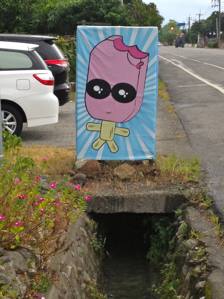
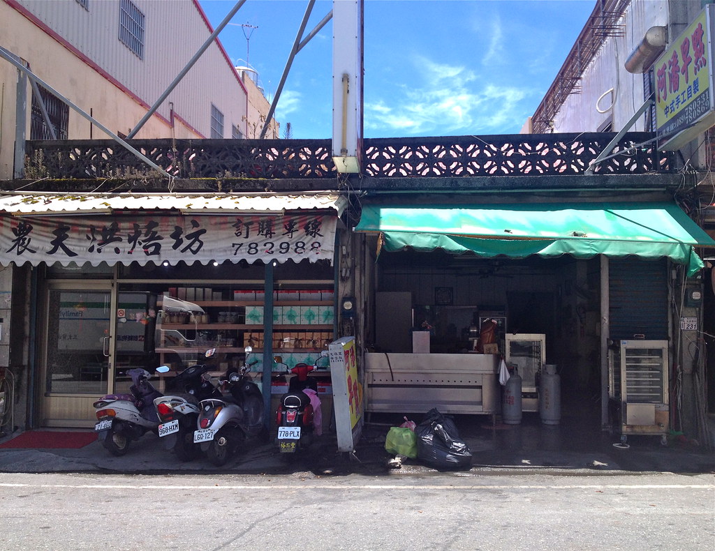
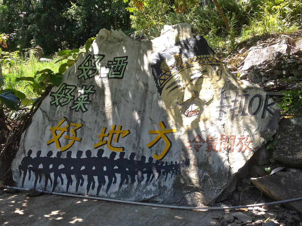
I'm clearly re-adjusting to Taiwan. Until I bothered to read the Chinese I thought there was a dessert shop down by the beach and thought "yay!"
We also planned a short hike to Cacevakan (I do not know how to pronounce it), the site of the ruins of a 700-year-old Paiwan village, and a short, easy circle of the Xuhai grasslands. In between we drove around the Kending peninsula and stopped at various beaches and coastal areas - some stone, some pebble, some sand, and spent a night on Weeping Lake in the mountains between Pingdong and Taidong.
This is also a special trip for me because it marks the first time I have ever driven a car on the main island of Taiwan. I have driven on Matsu before, and very briefly (like helping to park) on Orchid Island, but Taiwan itself has always terrified me. I'm an inexperienced and nervous driver in the USA, so Taiwan's inattentive scooter drivers, betel nut stand lights that make it hard to suss out actual traffic lights and general sense of all sorts of random crap being thrown at you as you go down the road have turned me into a confirmed non-driver.

Until now. You see, I've just spent the past 4 months in a small town in the Hudson Valley where you drive, or you starve. I carpooled with my sister to work and did most of the driving as I needed the practice. I took the car out on my own - a first for me. I drove more in four months than I had in 34 years, because I had to. I now feel confident enough behind the wheel that it would not be crazy to suggest me as a driver on a trip.
So, we rented a car in Pingdong as I refused to drive in Zuoying where the HSR spat us out. People say it's easy to get on the freeway from the station, but years ago we tried with my friend Emily behind the wheel, couldn't find it, and spent an hour circling Zuoying looking for a way out. NO THANK YOU. Pingdong is a smaller city, I felt that I could handle it especially if the rental office was on the outskirts (which it was), and if we then kept to highways that skirted towns and country roads. And I did! I really did! We returned the car without a scratch on it.
 |
| Along the road to Gangzai |
I would like to say that I have changed my mind about driving in Taiwan and my insistence that public transit ought to be better, that I have decided to re-think my lack of desire to visit cities with inadequate public transit such as Taichung, that I am more amenable to driving in various parts of the country. But that would be a lie. I still think public transportation is better. I will still seek out buses and trains whenever possible. I still feel that public transit outside of Taipei and perhaps Kaohsiung is insufficient, and requires the attention of the government. I am still not a proponent of driving. I would still prefer not and still recommend that others try to avoid it.
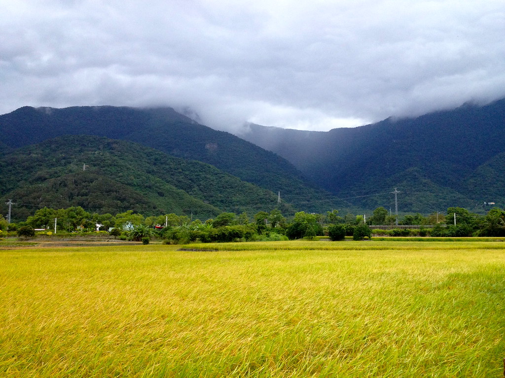
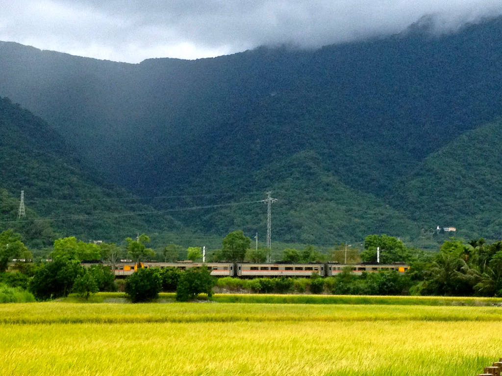
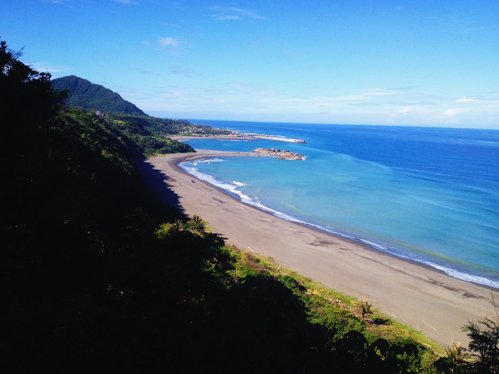
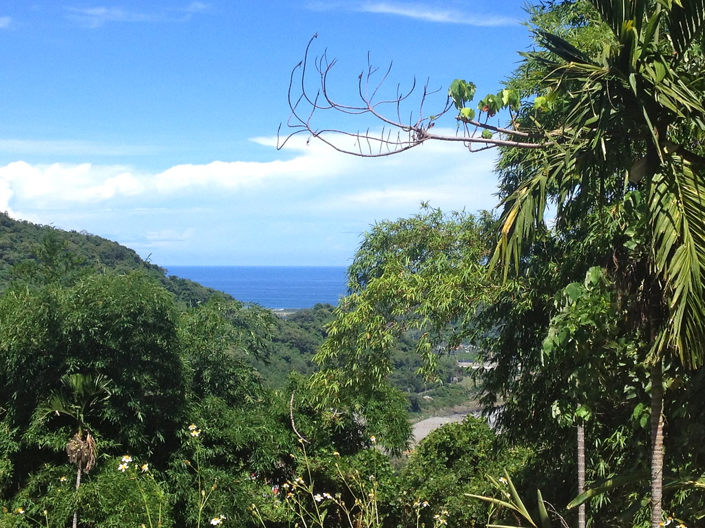
Pingdong is an incredibly scenic county. Unfortunately, it's also one you can only fully enjoy if you drive or cycle. We took Route 1 (the main highway to Kending) to Route 9 (the turnoff for the mountains to Taidong, a right-hand turn to go left because driving sucks). Then we turned on County Route 199 (199縣道), stopped at a well-known Paiwan restaurant at Weeping Lake (哭泣湖 or "ku qi hu", transliterated from Paiwan "tzukudji" - it is not an incredibly tragic lake nor is it lined with weeping willows), and then turned onto Route 199-jia (199甲) to take us down to Gangzai via Xuhai. This route will take you over low mountains and, as you near Xuhai, will spit out gorgeous views of the blue ocean rippling between green bejungled hills before you start to descend.
Before you set off on this trip, I highly recommend making reservations at
Vais Paiwan (凡伊斯山野菜館) - the address is 屏東縣牡丹鄉東源村51號 along County Route 199, phone #08-883-0463, open 10-5pm. They're famous for their vegetables - don't go overboard on the meat, just order lots and lots of super-fresh, well-prepared veggies. You can also get Paiwan snacks, mountain pig and more.
 |
| View from 199甲 |
 |
| Mountain pig at Vais Paiwan - it was good, but the vegetables were better |
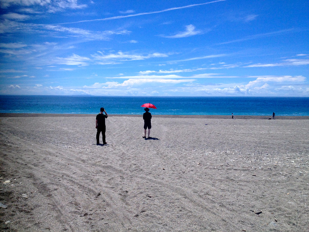
Our next stop after Vais Paiwan was Xuhai's pebble beach, where flat, round pebbles make a downpour-like sound as the waves roll in.

It's also a good place to watch the sunrise, but we were there in the late afternoon. A gorgeous coastal road connects Xuhai to Gangzai (港仔), which, true to its name, has a tiny little port, with lots of pretty places to stop and take photos along the way. In Gangzai, we arrived late enough that all we could really do was get dinner and turn in early. We stayed at
Li Mama's (#08-8810066)and found a fantastic dinner spot down by the water (walk back along the main road and turn right at the Earth God temple, continuing left along the short road closer to the coast - the entrance to the beach is to the right) - I especially recommend their dish of non-spicy green peppers, which are not the same as green bell peppers.
Oh, if staying in Gangzai and addicted to caffeine, I highly recommend bringing your own coffee setup - I brought those one-cup coffeebags and a bag of creamers. You won't get morning coffee anywhere else in town, although down the road an outdoor cafe setup in a field claims to have coffee, but does not appear to open early in the morning.


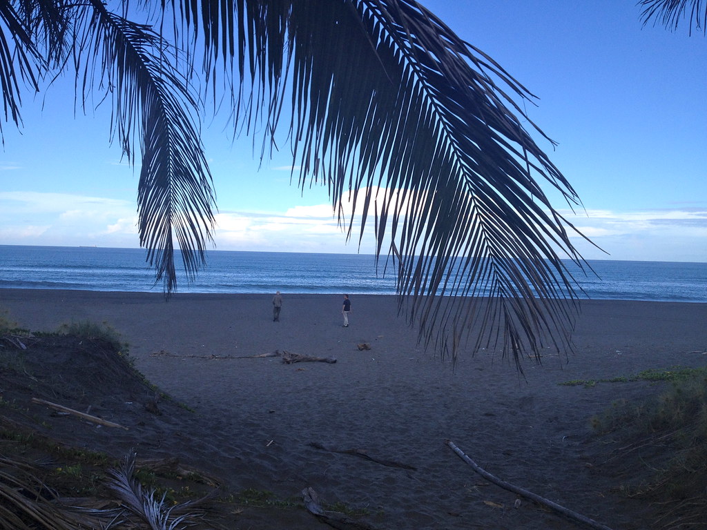
The next morning I, jetlagged as hell, woke up at 5am because the gods hate me. But, I had the chance to see the sunrise while Brendan and Joseph snoozed so I threw on flip-flops and, without brushing my hair, walked down to the beach in my pajamas. Folks in small towns in Taiwan tend not to care too much about your personal style. Of course the beach was full of the few other tourists staying in Gangzai, and they were silhouetted black against the lightening sky and water as I walked up.

|
| Would you believe that this is a moonrise? It is - it's not a sunrise photo at all. |

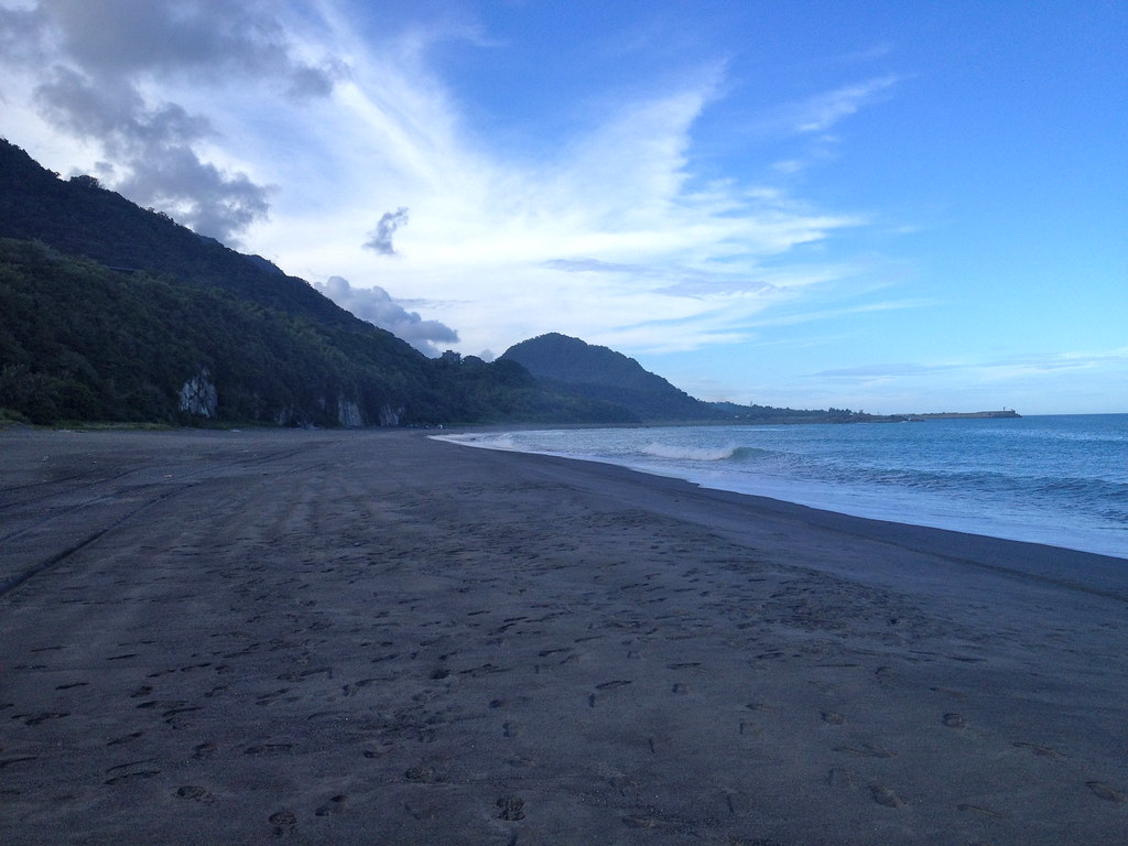
Gangzai has a sandy beach dotted with rocks and other detritus - a pleasure to walk down, but I would not recommend swimming.
It is backed by several high sand dunes that a.) coat the entire town, daily, in a fresh film of fine grime and will cause you to feel grimy, too; and b.) can be traversed by renting a Jeep or ATV, a popular activity in town.
You can beachcomb for fun, drive around the dunes, or explore a half-buried pillbox.
I hadn't brought my phone, which is currently my only easily portable camera, so I have no photos. The world has enough photos of sunrises, I figured, I would just enjoy this. I could go into some long "off the grid, enjoying the sunrise"cliche, but really I just couldn't find my phone in the dark and couldn't be bothered.
Loving a good foot dip, I rolled up my PJ bottoms and let the surf wash over my toes a few times. Happy with this, I wasn't paying much attention when a larger wave rolled in, soaking me to the waist. I tried to splorp backwards to get to shallower water, but my flip-flops sunk into the roiling sand, I lifted up a foot and the surf immediately snatched my shoe away.
Okay, I thought. I'm here in PJs, with only the bare minimum of clothing, no technology and now just one shoe, watching the other one quite literally sail off into the sunrise. You win, Mother Nature! The power of the elements serves to illustrate the ephemeral nature of man! Waiter, another cliche please! Give me a TED talk!
Later, we packed up all manner of snacks and sun protection for our hike to the shipwreck. This hike was kind of a one-shot deal for us, first of all because we needed a permit (which we didn't have, but nobody was checking), and secondly because it's widely believed that this particular shipwreck is going to end up washed away by the upcoming typhoon season. The ephemeral nature of man and his works indeed!
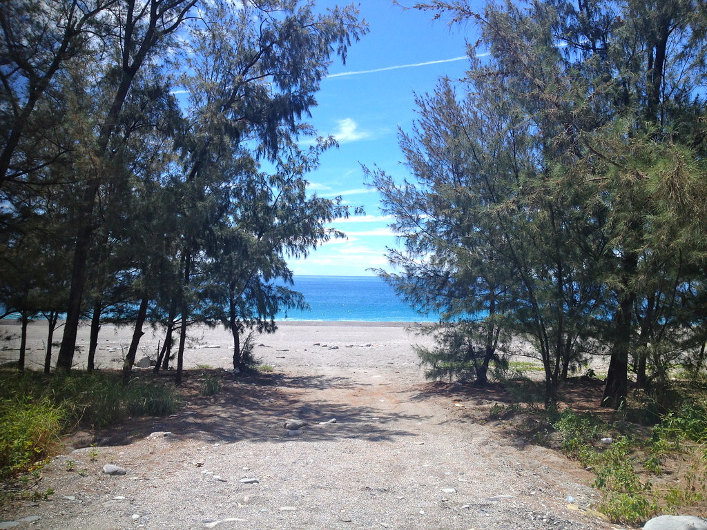
We drove our little Vios down to Jiupeng village(九棚村) and following the incredibly scenic road along the coast down there to the very end, where it terminates in a concrete building and two small shrines. There is no food to buy - bring your own. The last general store is back in Jiupeng's "downtown", such as it is. Along this road you will find several inlets to the coast, one with a sandy beach. One lets out on a rocky outcropping you can clamor over, complete with maypole-or-prayer-flag area. From here, look to the right. In the far distance you will see an oblong shape down the coast. Look closer. That's the shipwreck.


It looks so close! Soooo close! You could just walk there, right?
Ha. Ha.
Keep driving, to the end of the line. As far as you can drive.

Go to the end of the line where you'll hit the coast, a few buildings and two shrines.
At the far shrine you can turn onto the rocky coastline.
There is no trail, and the "Nanren Road" that the map promises continues this way does not exist. You'll pass a sign saying no trespassing without a permit...but nobody will check. You cannot see the shipwreck from this starting point, it's obscured by another small cape. To see it again, you'll have to round that. To get to the actual wreck, you'll have to pick your way across 4km of rocky tumbles.
We did not make it to the wreck, but we do have some photos of it from the little cape. We all agreed that, given the time it took to reach the cape, that we would never make it over even rougher rocks to the wreck and back. It looks easy, but it is incredibly hard on your legs and feet - I kept struggling to keep my balance in the shifting stones, and I'm still sunburned from the complete lack of shade. If you want to keep going, I suggest buying some cheap working gloves from 7-11, the knitted kind, to make it easier to scramble over larger rocks.


It looks like such an easy thing, just picking your way through these smaller rocks - but it's really not. You're completely exposed, which you can deal with, but the rocks themselves radiate heat and they're small enough that they don't afford good balance. I had to keep my head down to keep from flopping all over the place, and even then I tripped and stumbled often.
It seems like you should be able to get to that first cape in maybe 30 minutes?
Yeah...it took something like 2 hours. It's only, at most, 1.5km away from the road's terminus and probably less than that.
In the end we didn't make it past the cape. From the cape, there is a view of the ship but it was agreed that the rocks beyond were simply too rough to attempt to go any further, considering the effort and time it had taken us to get this far.

Turning back and sitting exhausted for awhile at one of the shrines, we drank tons of water, ate cereal bars and dried mango slices, and inspected some local beachcomber's collection of finds.
You can also start this hike from Manzhou or Jialeshui, starting at Little Yehliu, where the walk may be easier but it's 8km, and you are more likely to be asked for a permit. We never did figure out how one even obtained a permit. I'd say it's impossible, but Taiwanese hiking groups do this hike.


We got lunch back in Gangzai at the restaurant on the main road next to Li Mama's (also good - don't miss the cuttlefish balls and fried oysters) and then continued back to Xuhai, where a much easier hike awaited us. A turn-off in Xuhai will take you up a winding but fairly well-maintained mountain road that spits you out at a high-altitude parking lot. Pay a small fee, park your car (you could hike up the road, but I do not recommend it), and a lovely, easy hike among scenic grasslands awaits. There are restrooms and food stalls here, too. Also, tour groups.


This hike is so easy that a child could do it, and many did. People brought their babies and small dogs and set up entire picnics. It was a nice counterpoint to our death march earlier in the day, with only a few uphill sections. You are rewarded with stunning coastal and mountain views. I recommend sun protection. Take your time and enjoy the view.
The next day we took off from Gangzai and headed south. We stopped briefly in Manzhou for cold drinks and to see the Yu Family Home, a 120-year old courtyard house that is still occupied, sort of (the Yus live in New York, but return fairly regularly and were in town for tomb sweeping). It's a private home but if you pop by and someone's there, they'll most likely let you in to have a look around. Across the street is another home from the same era in a state of considerable disrepair.


Manzhou is also a decent place to stock up at 7-11 and grab a bite to eat. You can probably get directions from folks hanging out at the banyan tree at the center of town (no joke), and if you stayed to poke around you could probably find some more interesting old houses and temples.


We skipped Eluanbi (Brendan and I had been there years ago) because it seemed to be full of holidaymakers and instead focused on Kending sights to the east, including a much quieter and more pleasant beach than the one in Kending town, which is kind of gross and overdone.

We stopped in Jialeshui (佳樂水) where we are fairly sure the restaurant where we ate lunch, which was directly across the street from the parking lot, passed off intestine as "fish belly", despite our skeptically asking if it was indeed what we'd ordered. In addition we learned that drinking 100 cups of coffee in a short time can kill you.

Who knew?
We also found that the banyan forest was closed on the weekend (so much for being a good tourist site). But, we went on to Little Yehliu, where you drive past the first parking lot (which is for a beach that looks a bit rough for swimming) and up to a further one. I suppose without a car you could walk it, but I wouldn't want to. Again, that's not a call for you to get a car, it's a call for the destinations down here to have better public transit.


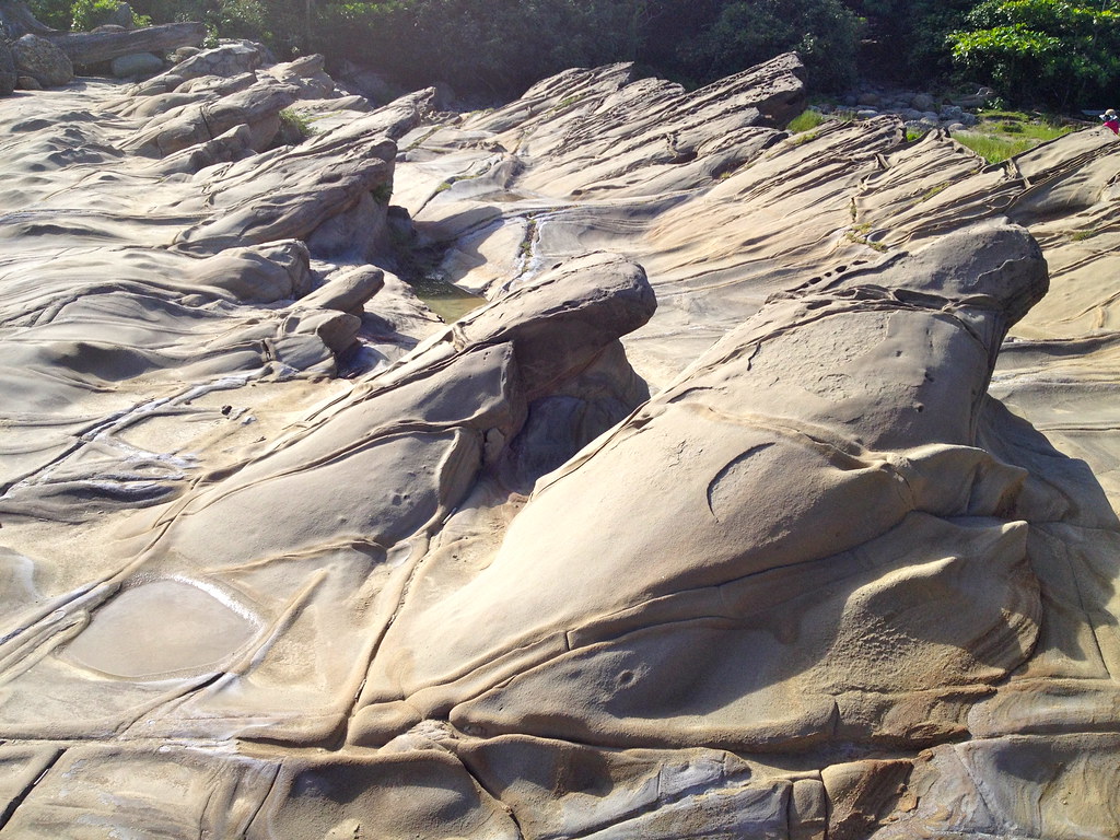
You pay a fairly large fee (290 for three people and one car) and hop on a shuttle bus that stops at all the least interesting rock formations. The shuttle eventually pulls up at the end of the road, which has much more interesting rocks that you can actually get out and climb over. Your shuttle will leave in 10 minutes but you can take any leaving shuttle and stay as long as you like.
There's a guy there selling coconuts you can drink from and bottled drinks. This final stop is really what's worth coming for.

After Jialeshui we drove back up Rt. 200 towards Gangzai, but turned at Changle (長樂), a small Paiwan town to get on Rt. 172 (a left-hand turn coming from Kending, a very weirdly angled right coming from Gangzai that you will probably miss, which bears a sign for Gaoshi/高士). Having trouble finding the turn, we stopped in Changle to ask directions. Someone had left a cover half-off a rain gutter near where we'd parked, so as I stepped out of the car, my entire left leg went right in the hole and I fell forward.
Joseph, who was also out of the car, and a local woman giving him directions ran up and helped get me out. I hadn't broken anything but still have a nasty scar several inches long below my knee. The woman probably tells everybody she meets about the foreign lady who fell in a rain gutter in Changle. As we were asking directions to a hike, you could generously term my scar a "hiking accident" - but we all know what really happened.
Route 172 twists further up into the mountains from Changle and eventually meets County Road 199, although that is not clear at all on Google Maps. It is both narrow and surprisingly well-maintained. It is very sparsely trafficked - we passed maybe 3 cars for most of the length of it. Driving along that for several kilometers, on the left you'll come to a clearing with several government signs (on the right if you come from Mudan and the dam).
This is Cacevakan, the trailhead to a short hike up the mountain that leads to the 700-year-old ruins of a Paiwan village.

If you go up here, when you enter the ruins, remember to maintain a respectful silence, do not enter any of the houses (it's OK to walk on the path), do not litter, and although you can picnic at the rest spot just before reaching the ruins, I'm not sure I'd recommend it as I don't know how sacred the space is. The government has done some work to make this site accessible, but it's unclear how much that is supported by the local Paiwan, so it's better to err on the side of more respectful if you go.
As the signs will tell you, the inhabitants of this village buried their dead inside their houses - doing so was supposed to confer protection and bring in good luck - so stepping into any house ruins you see likely means stepping over graves - not something you want to be doing.


A view from the hike up to Cacevakan

The hike is about 500 meters there - 250 to a T in the trails, then head left and it's about another 300 to the ruins. You can head back via the same trail or a slightly shorter but much rougher one that brings you back to the T from the right (you can also go up this way). In many areas on the rougher trail you may have to butt-slide down as it gets steep and gravelly and the wooden steps are all but disintegrated.
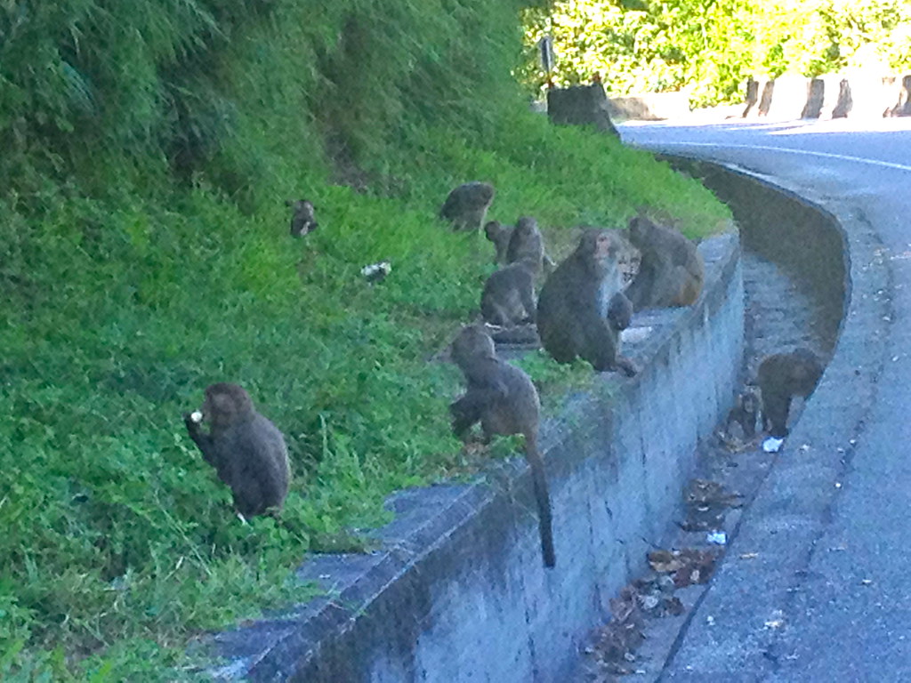
If you keep quiet on the trail and come in early morning or late afternoon, you may catch a glimpse of macaques in the trees. There are beehives, so take care and don't wear anything too smelly.
It may seem deserted, but people do come up here, most likely local Paiwan. At the resting spot there were fresh betel nuts laid out to one side, and at the ruins there was a stone slab covered in coins, glass jars and candy.
And again, contemplating these ruins, I would be tempted to pontificate on the ephemeral nature of man and his works as they face off against the unstoppable elemental forces of nature, but again, I'm not a walking TED talk, so I won't.
We stayed briefly and then hiked back down - well, I hobbled, my leg was throbbing - and continued along Rt. 172 to where it meets County Route 199 near Mudan and its reservoir and dam. The views around here are nice, and the entrance to the town is decked with a large aboriginal-design archway.


Heading further up the mountain from Mudan, you may want to stop for some views back down toward the town and dam.

You'll also pass a strange-for-Taiwan town, clearly aboriginal and newly built, full of A-frames on tidy streets. We're not sure what the history is behind this settlement - whether it's for workers who man the dam and reservoir, a rehousing of locals who lost their homes in mudslides or some other housing program, or even what it's called (though Google Maps lists it as "Shimen Village" or 石門村). I'd be curious to know as one does not usually see European-style A-frames in small Taiwanese mountain towns.

As we drove along we passed several trailheads for hiking. With more time and a leg that wasn't banged up by an aggressive rain gutter, I would have liked to have checked some of these out. Unfortunately, we had neither, but someone with time to spare might really enjoy exploring some of these trails. As it got dark we pulled into Dongyuan (東源), also known as 哭泣湖 or Weeping Lake, which we'd passed on our first drive in. Dongyuan/Weeping Lake has Vais Paiwan (the restaurant noted above), a "scenic area", the lake itself with an easy trail through the meadows and forests around it, and
Gu Zi (Ku Qi?)
Stone House, run by a local pastor and his wife (reservations: 08-8830463 or 0933381844). You can spend the night in the spacious, eccentrically-decorated room below, and have coffee overlooking the lake in the cafe above, which opens between 9 and 10am. We pulled up to the Stone House and waited for someone to show us the way - the house itself is down a short dirt trail from the road.

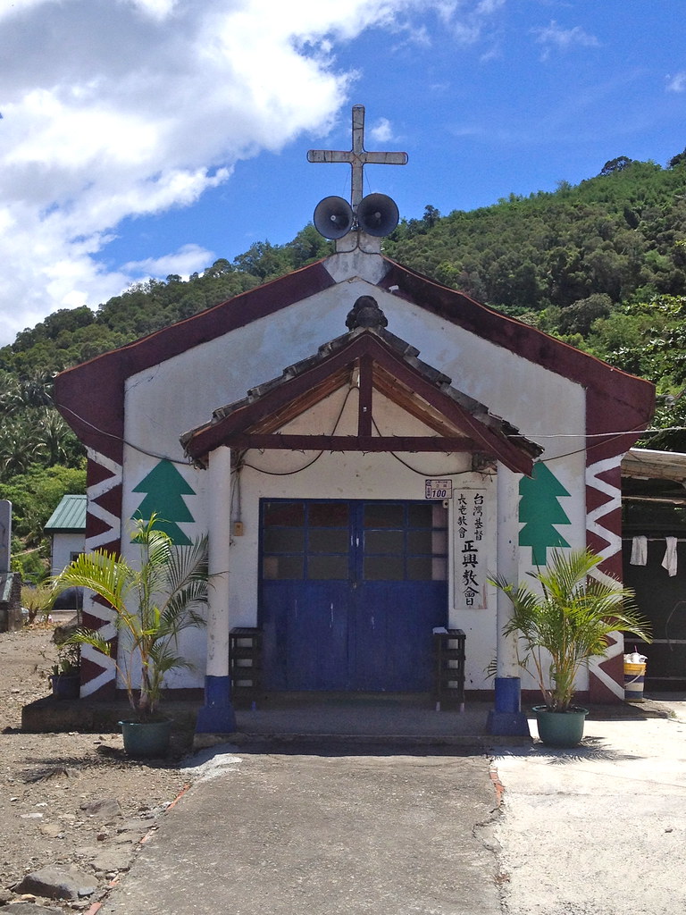
If you want something to eat, you'll either have to walk, drive or cycle (if you're on a bike) the 1km into town, so if you don't feel like leaving once you've checked in, make sure you're set for food. There are no locks - "nobody here would steal anything" - so while you're probably fine you may want to keep valuables on you. Breakfast is at Lai Lai Noodle House, 1km away in town, and is free. I liked the noodles with a tea egg and mountain vegetables - Joseph wasn't so keen. Lai Lai is run by the pastor's wife's sister and is next to the large church. Many of the aboriginal towns around here boast fairly large churches as much of the community has been converted to Christianity. The room comes with a very large table, a large wooden platform that functions as a "bed" and holds three - better if you're family - a stone-wall bathroom, separate kitchen area with sink but no stove, hot water kettle and some toiletries. It's decorated with wood, stone and aboriginal fabrics. The slate-and-stone edifice is also dotted with old tools, broken jars and other eccentric bric-a-brac.

Our plan for the next morning was to walk around the lake, have coffee upstairs, and then drive up to Dongyuan Scenic Area to see if it's a worthwhile detour. Unfortunately, we woke up to driving rain and, uh, didn't do anything except have breakfast and then coffee. That's also why I have no pictures of Stone House - the light was awful and didn't really capture what the place is like.
So, after returning in the rain from Lai Lai, we packed up and, when the cafe opened (we were the only customers), had locally-grown coffee and ginger flower tea overlooking the lake. More a pond than a lake, really, but the scenery was nice. If you are driving this way it is well worth a stop - and you wouldn't really notice it if you didn't know it was there - but isn't really a destination in its own right.

After coffee we started the slow drive back down to Pingdong, our best-laid plans ruined by the downpour. We would eventually stop in Kaohsiung briefly to have a meal with our dear friend Sasha at Dan Dan Hamburgers (a very local southern Taiwanese hamburger joint that boasts fast food and thread noodles in combo meals).


I would again wax rhapsodic about man's helplessness in the face of nature, but remember the even that got me on that whole line of thinking? My reliance on human technology laid bare at sunrise as I watched my flip-flop bob away in the surf?
Well, what I didn't mention was that after a few minutes some girls further down the beach came up to me, my dripping shoe in their possession. "I saw you lost your shoe before - is it this one?"
YES!
"It washed right back up on the beach down there."
Ha ha.
Man 1; Nature 0.

An ancient tree grows on the grounds of the Qiaotou Sugar Refinery in suburban Kaohsiung while on one side a guy hangs out with his stuff, and on the other a couple takes wedding photos. Rock beats scissors, scissors beats paper, man beats nature.
